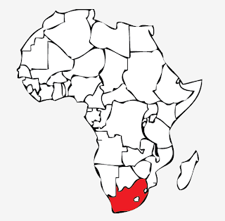
Experimenting with creating diagrams and imagery for the tourist guide
- Using the imagery of the location of Khayelitsha by firstly creating an outline map of the continent of Africa depicting South Africa, and looking at different projections and magnifications of the location.
Outline taken from google images:
Live traced and live painted outline map of Africa:
Outline of South Africa showing the different provinces taken from google images:
Live traced and live painted outline map of South Africa with the Western Cape shown in red:
- Creating an outline of Western Cape showing Khayelitsha
Screenshot from google maps showing the Cape Town area:
Tracing around the outline:
Live painting the diagram:
- Using the outline of South Africa to experiment with incorporating the South African national flag into the shape of the country:


